Sale!
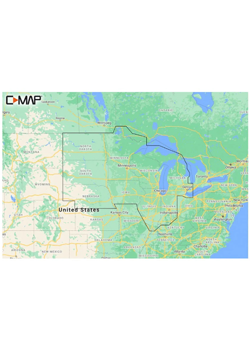
C-MAP Reveal US Lakes North Central
$ 90.29
Description C-MAP Reveal US Lakes North Central Cruising, fishing or sailing, C-MAP® REVEAL™ Lakes charts offer the very best of C-MAP. The Game-changing Reveal Seafloor Imagery, Aerial Photography and Satellite Overlay presentation added to the core C-MAP features found in DISCOVER™ – full-featured Vector Charts, with Custom Depth Shading and subscription-free Easy Routing™. It also contains C-MAP High-Res Bathy which helps you identify shallow areas, drop-offs, ledgesholes or humps. In addition this chart integrated Genesis® data. Purchase includes a full 12 months of online updates. Compatible with Lowrance, Simrad & B&G Chartplotters. Shaded Relief – bring the world around you to life, with 3D rendered land and underwater elevation – including areas of Ultra-High-Res Bathymetric imagery – a game-changer for anglers and divers. Aerial Photography – a collection of thousands of photos of marinas, harbors, inlets and other notable navigational features included to offer an additional level of detail. Satellite Overlay – satellite imagery gives information about the surroundings when you find yourself in an unfamiliar place. Harbor & Approach Details – unprecedented level of detail. Approach any harbor and inlet with confidence.