Sale!
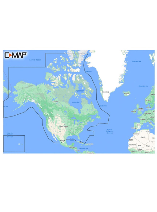
C-MAP Discover North America
$ 91.05
Description C-MAP Discover North America Cruising, fishing or sailing, C-MAP® DISCOVER™ charts offer the largest geographical coverage and includes all of the core features you need. Comprised of C-MAP High-Res Bathy that helps identify shallow areas, drop-offs, ledges, holes or humps. Including integrated Genesis® data, full-featured Vector Charts which make navigation easy by providing accurate and up-to-date chart detail. This detail is derived from the official Hydrographic Office information. Next Custom Depth Shading set a clear safety depth or create your own shading. Tides & Currents show projections of water levels and direction of tides. Subscription-free Easy Routing™ which includes 12 months of free online updates. Compatible with Lowrance, Simrad & B&G Chartplotters. Features Easy Routing™ – helps you automatically plot the shortest, safest route based on detailed chart data and your personalized vessel information. No subscription required. Detailed Marina Port Plans – docking in an unfamiliar port is no problem when you have precise layouts of thousands of marinas, including slip spaces, restricted areas and other valuable navigation information. Harbor & Approach Details – unprecedented level of detail. Approach any harbor and inlet with confidence. The perfect conclusion to a long voyage, sailing adventure or an exciting day of fishing. Online Updates – keep your chart up to date, with 12 months’ free online updates.